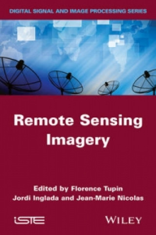
Kniha Remote Sensing Imagery Florence Tupin

Remote Sensing Imagery

Jazyk: Angličtina
Väzba: Pevná
Dostupnosť: Skladom u dodávateľa v malom množstve
Odosielame za 11-15 dní
159.83
Dedicated to remote sensing images, from their acquisition to their use in various applications, thi...


Informácie o knihe

Jazyk
Angličtina
Väzba
Kniha - Pevná
Vydalo
2014
Stránok
366
EAN
9781848215085
ISBN
1848215088
Enbook ID
05103719
Hmotnosť
686
Rozmery
241 x 164 x 25

Kompletný popis

Dedicated to remote sensing images, from their acquisition to their use in various applications, this book covers the global lifecycle of images, including sensors and acquisition systems, applications such as movement monitoring or data assimilation, and image and data processing. It is organized in three main parts. The first part presents technological information about remote sensing (choice of satellite orbit and sensors) and elements of physics related to sensing (optics and microwave propagation). The second part presents image processing algorithms and their specificities for radar or optical, multi and hyper-spectral images. The final part is devoted to applications: change detection and analysis of time series, elevation measurement, displacement measurement and data assimilation. Offering a comprehensive survey of the domain of remote sensing imagery with a multi-disciplinary approach, this book is suitable for graduate students and engineers, with backgrounds either in computer science and applied math (signal and image processing) or geo-physics. About the Authors Florence Tupin is Professor at Telecom ParisTech, France. Her research interests include remote sensing imagery, image analysis and interpretation, three-dimensional reconstruction, and synthetic aperture radar, especially for urban remote sensing applications. Jordi Inglada works at the Centre National d'Etudes Spatiales (French Space Agency), Toulouse, France, in the field of remote sensing image processing at the CESBIO laboratory. He is in charge of the development of image processing algorithms for the operational exploitation of Earth observation images, mainly in the field of multi-temporal image analysis for land use and cover change. Jean-Marie Nicolas is Professor at Telecom ParisTech in the Signal and Imaging department. His research interests include the modeling and processing of synthetic aperture radar images.

Mohlo by vás zaujímať

13.50

Sound Judgment

Richard Leppert
249.49
101.20

Malcolm X

Malcolm X
9.00
85.83

Bend But Don't Break

John W Williams
7.62
19.47

Short Stories from My Archives

Douglas J Archambault
6.16

Milk Fed

Melissa Broder
18.29

Zákazníci, ktorí si kúpili túto knihu, kúpili tiež

Neue Ordnung Der Bildung

Sebastian Niedlich
69.97