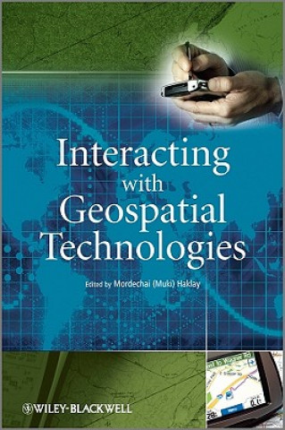
Interacting with Geospatial Technologies
Autor:
Muki Haklay

Dostupnosť:
Skladom u dodávateľa
Odosielame za 9-15 dní
130.36
€
This book provides an introduction to HCI and usability aspects of Geographical Information Systems...