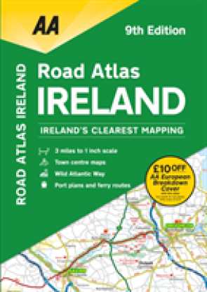
This atlas includes AA approved camping sites, viewpoints, picnic sites, port plans and ferry routes. Plus, motorway strip maps detailing all of Ireland's motorway junctions. Toll motorways and motorw ...Celý popis
This atlas includes AA approved camping sites, viewpoints, picnic sites, port plans and ferry routes. Plus, motorway strip maps detailing all of Ireland's motorway junctions. Toll motorways and motorway service areas are clearly highlighted. There are 10 detailed city and town plans with street indexes of Belfast, Cork, Londonderry, Dublin, Galway, Killarney, Kilkenny, Limerick, Sligo and Waterford. An easy-to-read 3,500 place name index includes top tourist sites, airports and service areas. Irish language areas are shown on the main mapping with place names in both English and Irish. District maps of Dublin and Belfast show the surrounding area in more detail and a clear route planner map is included for journey planning across the county. Ireland's clearest mapping, fully updated in an A4 3 miles to 1 inch format. New features on the mapping include the Wild Atlantic Way route.
Prečo nakupovať na Enbooku?
VEĽKÝ VÝBER
Ponúkame milióny kníh v angličtine. Od beletrie až po tie najodbornejšie odborné.
POŠTOVNÉ ZADARMO
Poštovné už od 2,99 € a pri objednávke nad 60 € doprava na pobočku Zásielkovne zadarmo
SKVELÉ CENY
Ceny kníh sa snažíme držať pri zemi a vždy pod cenou odporúčanou vydavateľom, aby si ich mohol kúpiť naozaj každý.
OVERENÉ ZÁKAZNÍKMI
Získali sme certifikát "Overené zákazníkmi" na Heureka.sk. Prezrite si naše recenzie
ONLINE PODPORA
Môžete využiť online chat, email alebo nám zatelefonovať.